Toronto’s PATH is the world’s largest underground retail complex connecting the office towers in Downtown Toronto, Canada, providing an important contribution to the economic viability of the city's downtown core. The system connects seamlessly with public transit, and experiences more than 200,000 business-day commuters, and thousands of additional tourists, visitors and residents.
Expansion of the PATH since 2010 has resulted in an additional 700,000 square feet of retail space and generated $300 million in sales revenue. However, it is not known for being easy to navigate and a recent independent study quantified that for every 1% increase in regular PATH users, annual sales revenues would increase by $17 million.
Key features:
- 75+ buildings
- 30km of pedestrian walkways
- 3.7M sq. ft. of retail
- 1.7B annual sales revenue
- 200,000 business-day commuters plus many thousands of tourists and visitors
- A wayfinding system no longer fit for purpose.
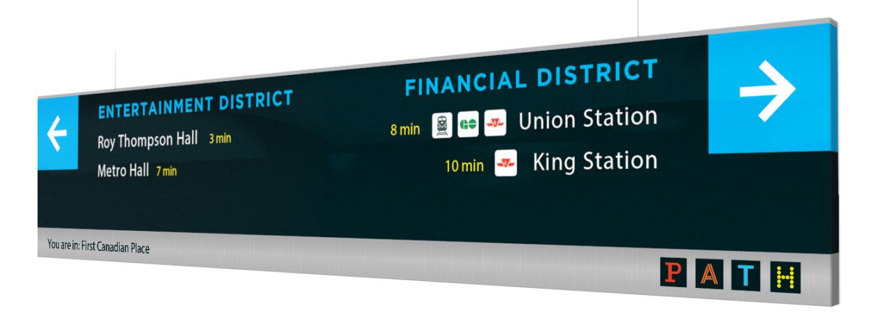
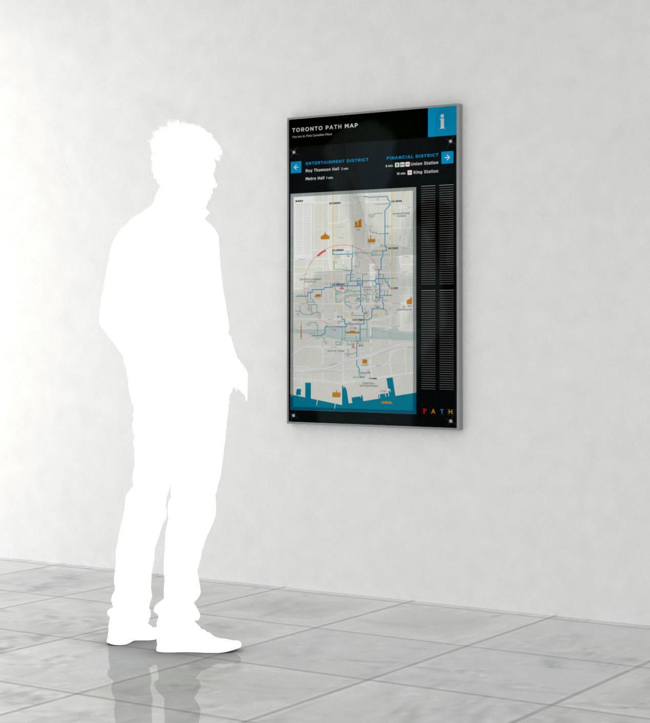
Steer Davies Gleave was commissioned by the Toronto Financial District BIA to develop a functional specification and design concept for an improved PATH wayfinding system to meet the needs of PATH users and key stakeholders.
New PATH maps and signage focus on getting people to major landmarks and neighbourhoods and build on the over ground, TO360 pedestrian wayfinding system also designed by Steer Davies Gleave for the City of Toronto. The PATH system will be built around connector routes – continuous paths that allow users to navigate the entirety of the network - joining transportation hubs like Union Station to major destinations such as Yonge-Dundas Square. And branch routes that reveal retail and other amenities located off the connectors.
“The PATH is now so extensive that it is a benefit for more than downtown workers,” says Grant Humes, Executive Director of the Toronto Financial District BIA. “Making sure the PATH works as well as possible is a major priority for us. We want downtown residents and tourists to also have the confidence they need to commute, explore and shop throughout the network.”
Next steps will include a #PATH360 pilot project in a major downtown property this fall to test the newly designed wayfinding tools. Full implementation of the new mapping and wayfinding system throughout the PATH is currently envisioned for the beginning of 2018.
“Improved wayfinding is essential to maximizing the PATH’s usability and economic potential,” says Councillor Michael Thompson, Chair of the Economic Development and Culture committee at the project launch in June 2016. “The PATH is a vibrant environment that attracts businesses, draws tourists, creates jobs and enhances the City’s quality of life. It is a critical part of our urban infrastructure.”
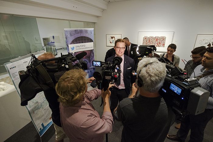
The next chapter of the PATH Wayfinding story was launched on 31st May 2016 in an event organized by the Toronto Financial District BIA at First Canadian Place. During the event James Brown, Principal Consultant at Steer Davies Gleave and an integral part of the project team, presented the wayfinding system to stakeholders and the media. As he put it on the day "the launch of a new PATH wayfinding system is the first step toward a world-class wayfinding system".
The project video can be found here


